
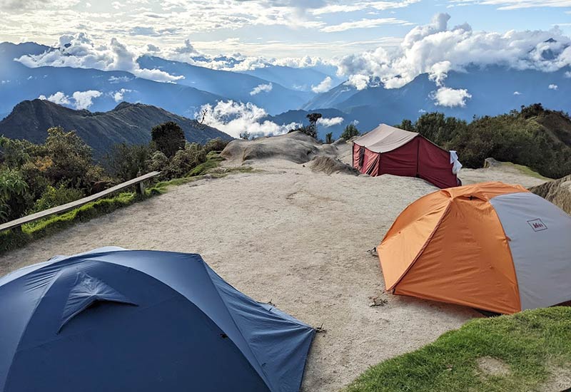
Knowing the exact altitude of each campsite on the Inca Trail before doing the trek is not just an interesting geographic detail. It is practical information that determines what temperature to expect at night, what warm gear you need to sleep well at each point, and how to manage altitude sickness symptoms over the four days. A participant who knows they will sleep at 3,600 meters on the second night arrives prepared. Someone who does not know may find themselves with an insufficient sleeping bag at the coldest campsite on the route.
This guide brings together the exact altitudes of each key point on the Classic Four-Day Inca Trail: the starting point, overnight campsites, mountain passes, and the final destination.
Starting point: kilometer 82
The Inca Trail begins at kilometer 82 of the Cusco-Aguas Calientes railway line, at an altitude of 2,650 meters above sea level. It is the lowest point of the first day of the trek and the one with the warmest temperature at the start of the day. From here, the trail begins its gradual ascent toward the first campsite.
Kilometer 82 is approximately 750 meters below Cusco in terms of altitude, which means the trek begins at a more manageable elevation than the city from which it starts. However, the entire day is uphill, and that initial advantage is gradually lost over the course of the first day.

First campsite: Wayllabamba (3,000 meters)
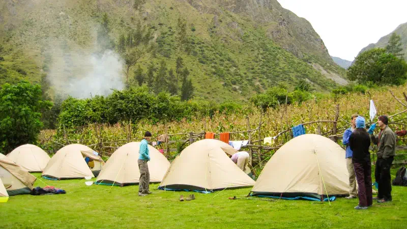
The Wayllabamba campsite, where hikers spend the first night on the Inca Trail, is at 3,000 meters above sea level. It is the lowest campsite of the three nights in the field and the one with the most manageable nighttime temperatures on the route, although the temperature drop at dusk at that point can already be significant if proper warm clothing is not brought.
At 3,000 meters, nighttime temperatures in the dry season usually range between 5 and 10 degrees Celsius above zero. In the wet season it can be somewhat warmer in absolute terms but more unpleasant because of the humidity. A sleeping bag rated for 0 degrees comfort is sufficient for this night with some margin, although if the bag provided by the agency has that specification, it is also suitable for the following campsites.
Wayllabamba is also the last point on the route with some tree vegetation before the trail climbs toward the open puna zone of the second day. The name of the place means in Quechua “plain of the willows” and refers to the trees that still line the campsite area at that altitude.
Dead Woman’s Pass: Abra de Warmiwañusca (4,215 meters)
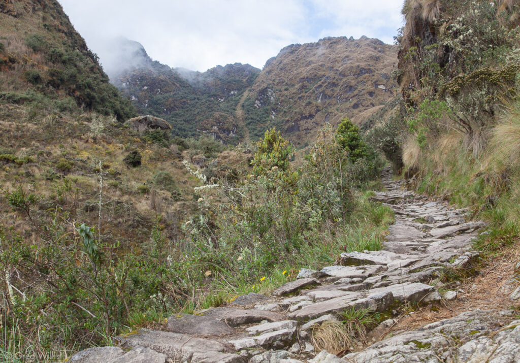
Abra de Warmiwañusca (Dead Woman’s Pass), popularly known as Puerto Muerto, is the highest point of the entire Classic Inca Trail at 4,215 meters above sea level. It is not a campsite but the mountain pass crossed on the second day, usually between 9:00 and 11:00 in the morning after several hours of climbing from Wayllabamba.
At this altitude, the oxygen available in each breath is approximately 40 percent lower than at sea level. The effort of climbing the final sections up to the pass requires a consciously slower pace than the terrain seems to demand, with frequent stops and deep breathing. On clear days, the view from the top includes snowcapped peaks in every direction and the valley that opens toward the descent. On cloudy days, the pass may be covered in mist and the wind can be intense.
The name Warmiwañusca means in Quechua “dead woman,” although the exact reason for that name is not definitively documented. The most widespread theory is that it refers to the silhouette formed by the surrounding mountains as seen from the pass, although there are other interpretations linking it to the conditions of extreme effort that the crossing imposed on the historical travelers who used this route.
Second campsite: Pacaymayo (3,600 meters)
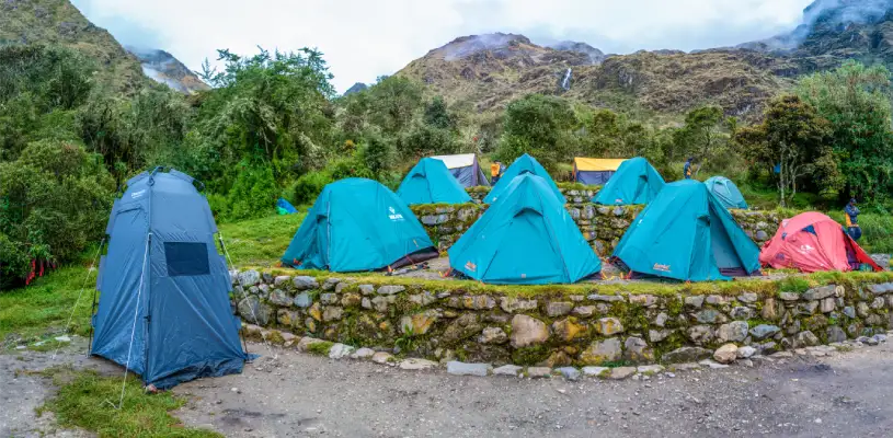
The Pacaymayo campsite, where hikers spend the second night, is at 3,600 meters above sea level. It is the highest campsite of the three nights in the field and the one with the lowest nighttime temperatures on the route, which in the dry season can drop to several degrees below zero during the coldest months of the year.
The name Pacaymayo refers to the pacay tree, an Andean legume with sweet fruit, although vegetation in the campsite area is already sparse because of the altitude. The campsite is located at the bottom of a valley between the passes of the second and third days, with a stream running nearby that provides the sound of water accompanying the coldest night of the trek.
For this night, a sleeping bag rated for 0 degrees comfort is the minimum recommended. In June and July, the coldest months of the year, a sleeping bag rated for 5 degrees below zero comfort provides a greater safety margin. The sleeping pad that insulates you from the ground is just as important as the sleeping bag itself: a low-quality pad that does not insulate from the cold ground can make even a good sleeping bag insufficient.
Second mountain pass: Abra de Runkuraqay (3,950 meters)
Abra de Runkuraqay, the second mountain pass on the route, is crossed on the third day at an altitude of 3,950 meters. It is not a campsite but the pass traversed after the archaeological site of Runkuraqay during the morning of the third day. It is 265 meters lower than Dead Woman’s Pass on the second day, which makes crossing this second pass comparatively more manageable for most participants.
From Abra de Runkuraqay, if visibility conditions allow, you can see the snowcapped Salkantay in the distance to the northwest, the same peak that dominates the second day of the Salkantay Trek and that appears from here as a geographic reference connecting the two most popular treks in the region.
Third campsite: Wiñay Wayna (2,650 meters)
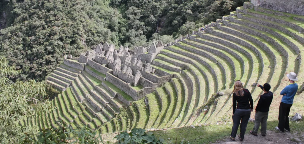
The Wiñay Wayna campsite, the third and final night in the field before Machu Picchu, is at 2,650 meters above sea level. It is located next to the archaeological site of the same name, the best preserved on the entire Inca Trail, and it is also the point where the nighttime temperature is warmest of the three campsite nights: between 10 and 16 degrees above zero in the dry season, with a lower probability of below-freezing temperatures than at the previous campsites.
Wiñay Wayna means in Quechua “forever young,” in reference to a pink orchid that blooms in the area throughout the year. The campsite is in an environment of subtropical vegetation that contrasts radically with the puna landscape of the second campsite: ferns, mosses, bromeliads, and the sound of the streams running down the slope create an atmosphere completely different from that of the previous nights.
Tonight the standard sleeping bag rated for 0 degrees comfort is more than enough for most participants. The main concern this night is not the cold but the anticipation: the fourth day begins before 5:00 in the morning, and the excitement of being just hours away from the Sun Gate produces a kind of insomnia that has nothing to do with the temperature.
Sun Gate: Inti Punku (2,720 meters)
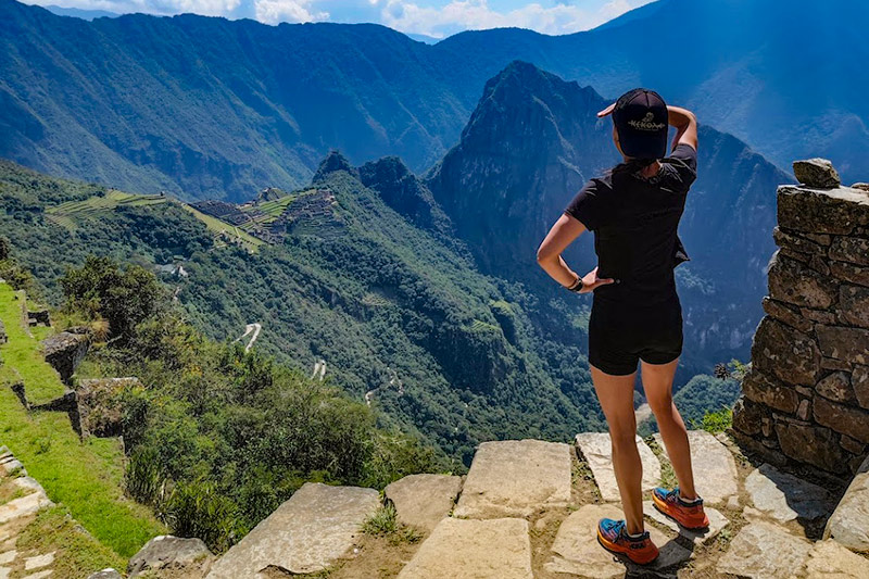
The Sun Gate, Inti Punku in Quechua, is at 2,720 meters above sea level. It is the point where the Inca Trail first arrives at the view of Machu Picchu, at sunrise on the fourth day. It is not a campsite but the historical threshold of the Inca sacred enclosure, the original gateway used by travelers of the Empire to enter the citadel from imperial Cusco.
From Inti Punku, the descent to the main entrance of Machu Picchu takes an additional 30 to 45 minutes along a well-defined and signposted trail. Entry to the archaeological site is made through the official checkpoint, where guards verify each participant’s ticket and Inca Trail permit with their passport.
Final destination: Machu Picchu (2,430 meters)
The archaeological site of Machu Picchu is at 2,430 meters above sea level, which makes it the lowest point of the entire route from the first campsite onward. That lower altitude compared with Cusco and the trekking campsites makes the visit to the site physically more manageable than any of the previous days in terms of available oxygen, although the accumulated fatigue of four days can make your legs disagree with that physiological improvement.
Inca Trail altitude table at a glance
- Kilometer 82 (start): 2,650 meters.
- Llactapata (first archaeological site): approximately 2,840 meters.
- Wayllabamba (first campsite, night 1): 3,000 meters.
- Abra de Warmiwañusca or Dead Woman’s Pass (highest point): 4,215 meters.
- Pacaymayo (second campsite, night 2): 3,600 meters.
- Runkuraqay (second archaeological site): approximately 3,760 meters.
- Abra de Runkuraqay (second pass): 3,950 meters.
- Sayacmarca (third archaeological site): approximately 3,624 meters.
- Phuyupatamarca (fourth archaeological site): approximately 3,600 meters.
- Wiñay Wayna (third campsite, night 3): 2,650 meters.
- Inti Punku or Sun Gate: 2,720 meters.
- Machu Picchu (final destination): 2,430 meters.
How the altitude of each campsite affects the equipment you need
The altitude difference between the second campsite, at 3,600 meters, and the third, at 2,650 meters, is nearly one vertical kilometer and translates into a nighttime temperature difference of between 8 and 12 degrees Celsius depending on the time of year. That difference is enough for the correct gear for the second night to be excessive for the third, and for the wrong gear for the second to be insufficient for sleeping comfortably.
The piece of equipment that depends most on these altitudes is the sleeping bag. For a route with campsites between 2,650 and 3,600 meters, a sleeping bag with a comfort temperature of 0 degrees according to the European EN 13537 standard is the one that properly covers all the nights on the route, with a safety margin on the second night, which is the coldest. In the months of June and July, a comfort temperature of 5 degrees below zero provides greater peace of mind for the night in Pacaymayo.
Knowing these altitudes before booking also allows you to ask the agency specific questions about the equipment it provides: verifying whether the sleeping bag is rated for Pacaymayo temperatures, the coldest campsite, is a question that with this information you already know exactly how to ask.
Do you want to hike the Inca Trail with the right equipment for each campsite and the information you need to prepare well before departure? At Incredible Peru Tours we specify the altitudes and expected temperatures at each point on the route before confirming the booking, and we provide the right equipment for each night.


