

Understanding the altitude profile of the Salkantay Trek before doing the route has direct practical value. It is not just geography: it is the information that determines what equipment you need for each night, at what point in the trek your body will be working with the greatest oxygen deficit, when nighttime temperatures will be most demanding, and why the second day concentrates most of the physical effort. This guide walks through the altitude profile of the five-day Salkantay Trek point by point, with the exact data for each campsite, each pass, and each point of interest along the route.
The general profile: from high glacial mountains to subtropical zone
The Salkantay Trek has one of the most varied altitude profiles of any trek in the Cusco region. The route begins at 3,900 meters at the Soraypampa base camp, climbs to 4,630 meters at the Salkantay Pass on the second day, and descends over three days to 2,040 meters in Aguas Calientes, passing through every ecological zone between those two altitude extremes. The total difference between the highest and lowest points of the route is 2,590 vertical meters, a variation that in five days produces changes in landscape, temperature, and vegetation that few routes in the world concentrate in such a short time.
This descent is not linear. The first day climbs from 3,900 meters at Soraypampa to 4,200 meters at Humantay Lake and returns to base camp. The second day climbs to 4,630 meters at the pass and descends approximately 1,500 meters to the Chaullay campsite. From the third to the fourth day, the descent continues more gradually to the valley floor. On the fifth day, it climbs to 2,430 meters at Machu Picchu from 2,040 meters in Aguas Calientes.
Cusco: the starting point before the trek (3,400 meters)
Cusco is at 3,400 meters above sea level and is the acclimatization reference point before any trek in the region. Spending at least two nights in Cusco before starting the Salkantay Trek allows the body to begin the physiological adaptation process to altitude before facing the Salkantay Pass. Those who go directly from Cusco to Soraypampa without spending at least two nights there arrive on the second day with an adaptation deficit that the effort of the pass significantly amplifies.
Day 1: Cusco to Soraypampa and Humantay Lake
Departure point by vehicle: Cusco, 3,400 meters.
Mollepata (optional stop on the way): 2,800 meters. The town of Mollepata, about 100 kilometers southwest of Cusco, is where some operators stop for breakfast or to pick up local staff before continuing by vehicle to Soraypampa.
Soraypampa (base camp, night 1): 3,900 meters. It is the starting point of the hike and the campsite for the first night. The arrival by vehicle from Cusco involves an ascent of about 500 meters compared to the city, which some participants feel noticeably when getting off the transport if they have not spent enough time in Cusco beforehand.
Humantay Lake: 4,200 meters. The optional but almost universal excursion to the glacial lake takes between 45 minutes and one hour uphill from Soraypampa. It is the highest point of the first day and the first real encounter of the body with the high-mountain conditions of the trek. The turquoise waters of the lake and the Salkantay glacier in the background are the most photographed scene of the entire trek after Machu Picchu.
Nighttime temperatures in Soraypampa can drop several degrees below freezing at any time of the year. The sleeping bag for this night should be rated for 0 degrees comfort or lower according to the European EN 13537 standard.
Day 2: Soraypampa to Salkantay Pass and descent to Chaullay
Departure from camp: 3,900 meters, between 4:30 and 5:30 a.m.
Salkantay Pampa (approach zone to the pass): between 4,100 and 4,300 meters. This high plateau area before the final climb to the pass is where the body begins to feel the effects of altitude more intensely. The pace must be especially slow in this section.
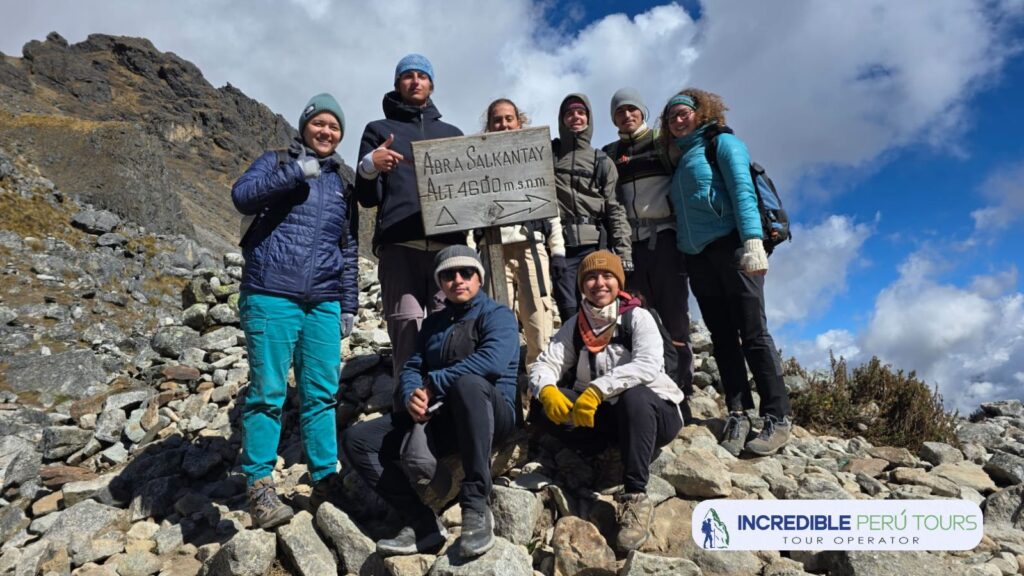
Salkantay Pass (highest point of the trek): 4,630 meters. It is the mountain pass that gives the trek its name and the moment of greatest physical and altitude demand. The northern glacier of Salkantay is less than one kilometer away in a straight line from the pass. The temperature here can be several degrees lower than at Soraypampa, and the wind can be very strong. A waterproof jacket and gloves are necessary as soon as the climbing pace stops.
Wayracmachay or Chaullay (camp night 2): between 2,900 and 3,200 meters depending on the itinerary variant. The descent from the pass involves dropping between 1,400 and 1,700 meters over several hours. This is the section that puts the most stress on knees and quadriceps. Night temperatures here are much warmer: between 8 and 15 degrees Celsius in the dry season.
Day 3: Chaullay to Santa Teresa
Start of the day: between 2,900 and 3,200 meters.
La Playa: approximately 2,350 meters. The trail descends into the valley, with vegetation changing noticeably: larger trees appear, temperatures rise, and humidity increases.
Lucmabamba or coffee-growing area: between 1,800 and 2,200 meters. The route passes through coffee, cacao, and tropical fruit plantations. Temperatures here can exceed 25 degrees Celsius during midday, a contrast of more than twenty degrees compared to the second day at the pass.
Santa Teresa and Cocalmayo hot springs (camp night 3): between 1,500 and 1,800 meters. This is the warmest night of the trek. Temperatures rarely drop below 15 degrees Celsius. The hot springs, at about 1,580 meters, have natural water at around 29 degrees and are the most appreciated relaxation point of the trek.
Day 4: Santa Teresa to Aguas Calientes
Start of the day: between 1,500 and 1,800 meters.
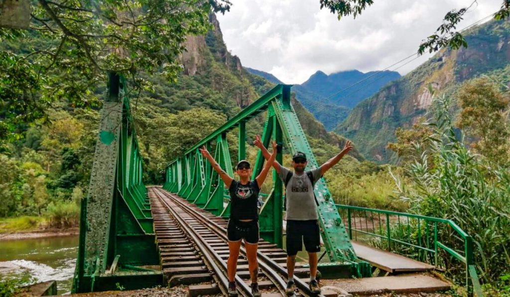
Hydroelectric Station: approximately 1,900 meters. Some Salkantay Trek itineraries end the hiking section at this point, from where you can take the local train to Aguas Calientes. Others continue walking along the railway line to the town.
Aguas Calientes, Machu Picchu Pueblo (night 4): 2,040 meters. The fourth night in a hotel in the base town of Machu Picchu is the first night in urban accommodations along the route. The temperature in Aguas Calientes is mild year-round, ranging from 14 to 20 degrees Celsius at night depending on the season.
Day 5: Machu Picchu
Bus ascent from Aguas Calientes: from 2,040 to 2,430 meters in about 25 minutes.
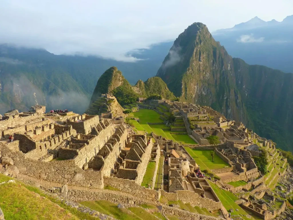
Machu Picchu: 2,430 meters above sea level. It is the final destination. Despite being lower than Soraypampa and Cusco, after descending for four days it feels physically easier in terms of breathing effort.
Machu Picchu Mountain (optional): 3,082 meters. Requires a separate ticket and advance reservation.
Huayna Picchu (optional): 2,720 meters. Also requires a separate ticket and advance booking.
Summary Table of Salkantay Trek Altitudes
- Cusco (previous starting point): 3,400 meters.
- Mollepata (stop along the route, day 1): 2,800 meters.
- Soraypampa (base camp, night 1): 3,900 meters.
- Humantay Lake (day 1 excursion): 4,200 meters.
- Salkantay Pass (highest point, day 2): 4,630 meters.
- Chaullay or Wayracmachay (night 2 camp): 2,900 to 3,200 meters.
- La Playa (day 3): 2,350 meters.
- Coffee-growing area, Lucmabamba (day 3): 1,800 to 2,200 meters.
- Santa Teresa and Cocalmayo hot springs (night 3 camp): 1,500 to 1,800 meters.
- Hydroelectric Station (day 4): 1,900 meters.
- Aguas Calientes (night 4): 2,040 meters.
- Machu Picchu (final destination, day 5): 2,430 meters.
What This Altitude Profile Means for Your Gear
The difference of almost 2,200 meters between the coldest point of the route, Soraypampa at 3,900 meters, and the warmest area, Santa Teresa at around 1,600 meters, defines the clothing strategy for the Salkantay Trek. It is not possible to bring gear for a single temperature range for the entire route because conditions change dramatically between the first and third campsites.
The sleeping bag needed for the first night in Soraypampa is excessive for the third night in Santa Teresa, where temperatures allow you to sleep comfortably with a much lighter sleeping bag or even with the bag open as a blanket. The technical warm clothing that is essential at the Salkantay Pass becomes unnecessary in the valleys on the third day, where heat, not cold, is the main concern.
A layering system, with a technical base layer, an insulating mid-layer, and a waterproof and windproof outer layer, is the strategy that allows you to manage this temperature variation in a single route without carrying too much in either direction. The right gear for Salkantay is not the gear for only the coldest campsite or only the warmest one: it is the gear that covers the full range with clothing items that can be combined flexibly according to the conditions at each stage of the route.
Do you want to do the Salkantay Trek with all the altitude and gear information you need before leaving Cusco? At Incredible Peru Tours, we prepare each group with a detailed altitude profile of the route and specific gear recommendations for each stage before confirming the reservation.


